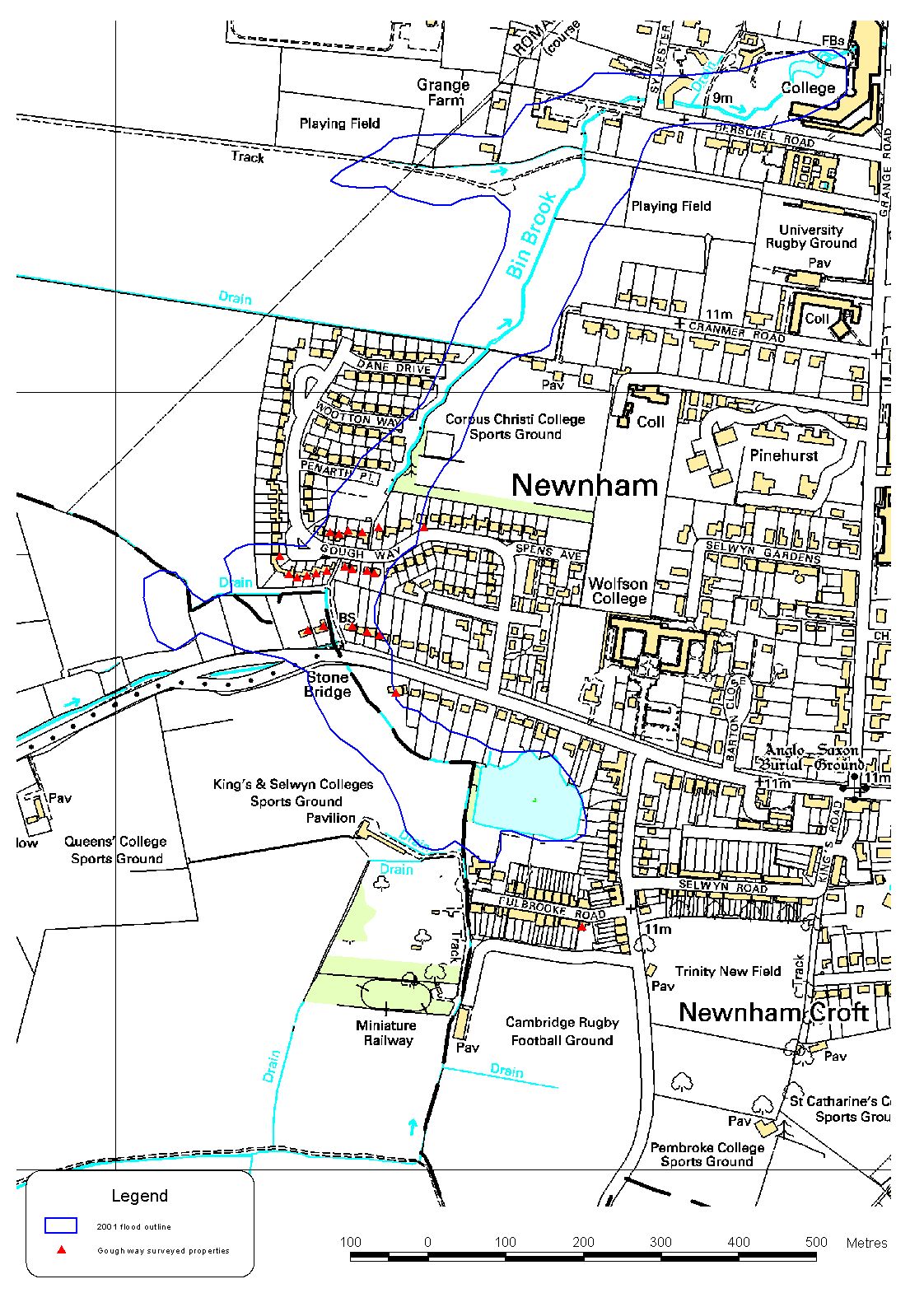
The attached plan indicates an initial assessment of the extent of the flooding in October 2001. It utilises the levels surveyed by the Environment Agency at the affected properties as identified from the flood questionnaires, and relates these to ground level contours. The contours are derived from LiDAR data which have limitations in accuracy, particularly in urban areas, and therefore the line may not at this stage correctly represent the actual extent.
The hydraulic model is to be calibrated against known data, and an accurate flood extent will aid this process.
The purpose of publishing the plan is to generate feedback from the inhabitants, with the objective of improving its accuracy.
Information on the flood extent, preferably by amendment of the plan, or by description will be welcomed. Responses should be provided via the Gough Way Residents Association.
Halcrow Group, Peterborough
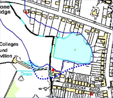
Modification to the map in the Fulbrooke Road area.